 01
West India · 11th century
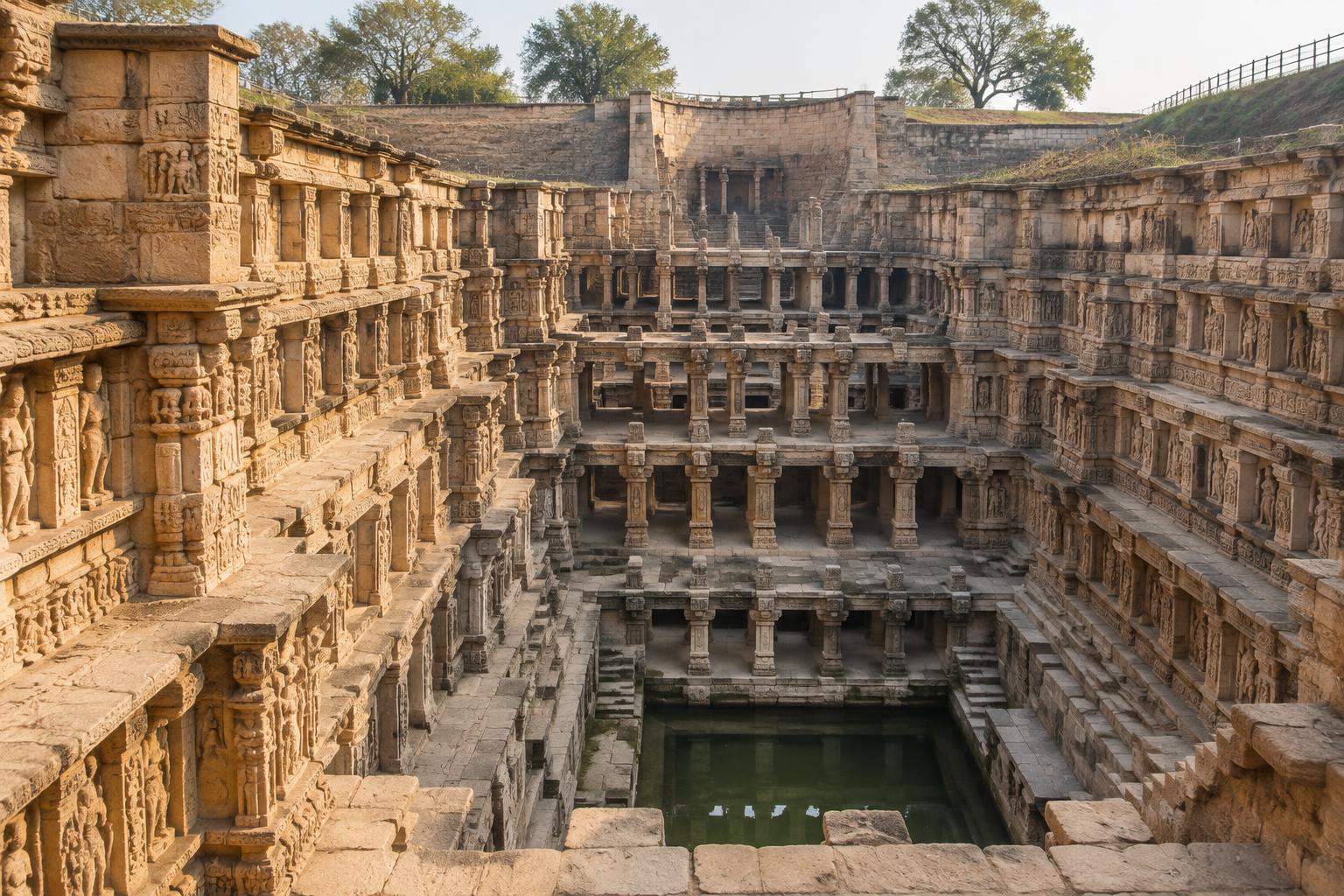
Rani-ki-Vav
A monumental subterranean stepwell in Patan where water infrastructure, architecture and cultural expression meet.
ExploreDigital archive · Group 7
07Water wisdom, carved into the land.
An academic study of traditional Indian water systems and the ecological knowledge held in their architecture, landscapes and community practice.
Smt. Indira Gandhi College of Engineering · Indian Knowledge Systems (IKS) · Assignment 6
Archive plate · JS-GUJ-SW-001Living typologies
Different landscapes created different responses to the same fundamental challenge: living with water.
01West India · 11th century
A monumental subterranean stepwell in Patan where water infrastructure, architecture and cultural expression meet.
Explore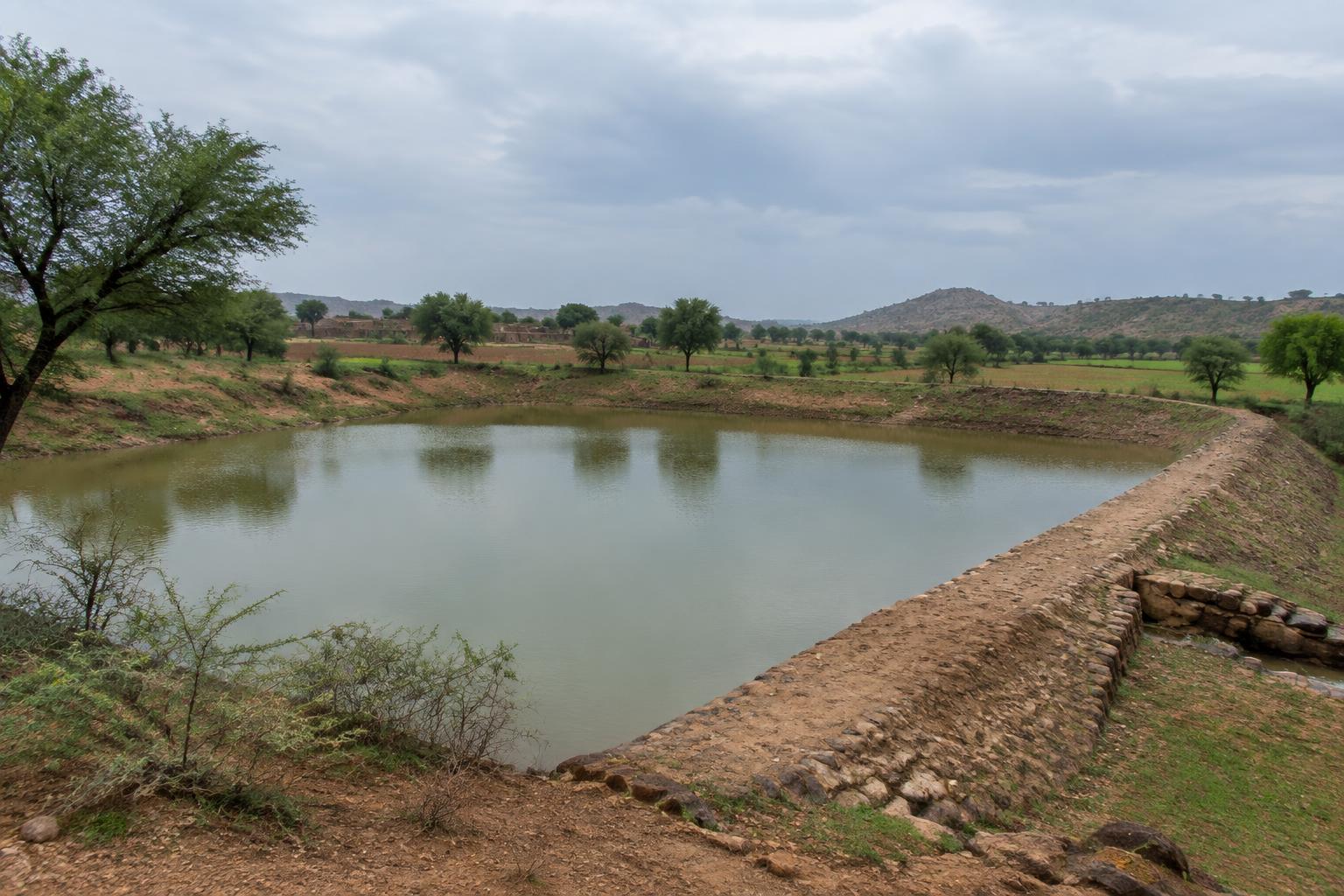 02
North India · Long-standing community practice
Small earthen embankments that hold monsoon runoff, creating ponds and supporting groundwater recharge.
Explore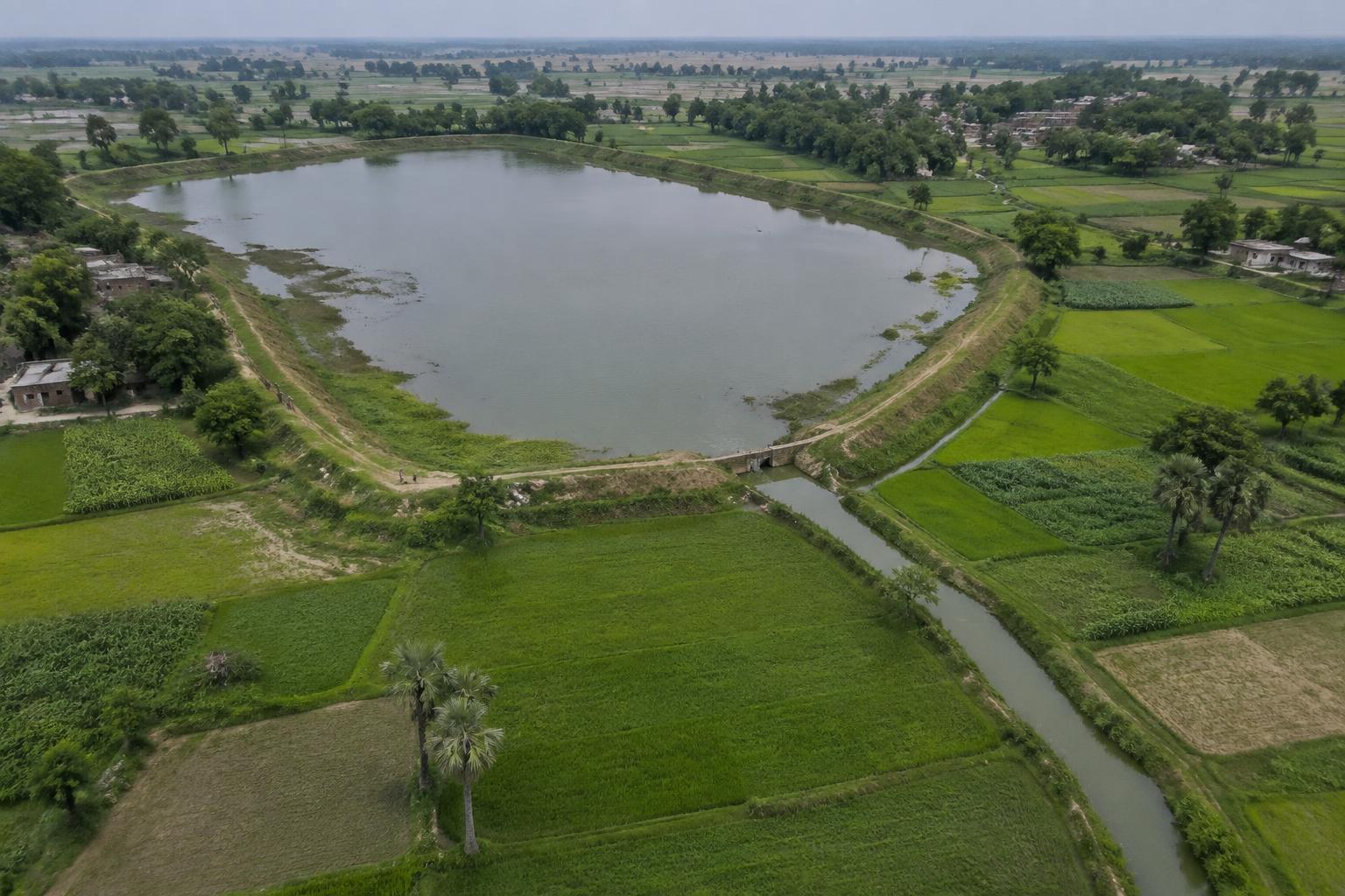 03
East India · Long-standing regional practice
A linked system of channels and reservoirs that diverts seasonal water for storage and irrigation in Bihar.
Explore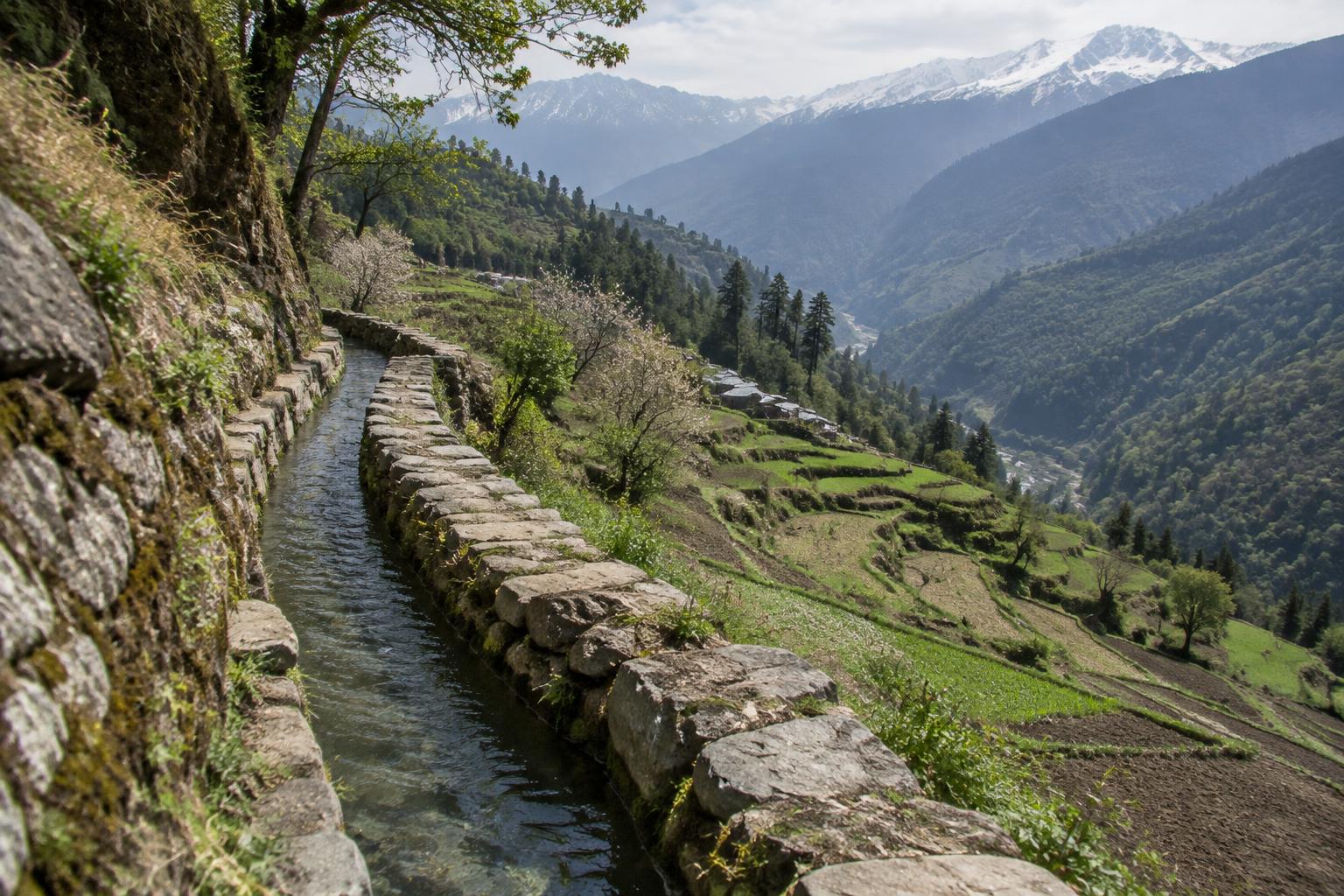 04
Himalayan Region · Long-standing regional practice
Gravity-fed channels that carry stream water along mountain contours toward terraced fields and settlements.
Explore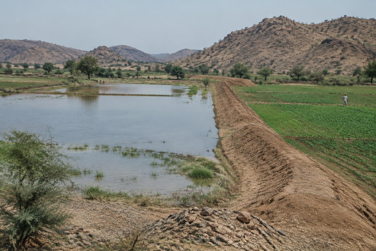 05
North India · Long-standing regional practice
An arid-zone runoff farming system that retains seasonal water and moisture behind a long embankment.
Explore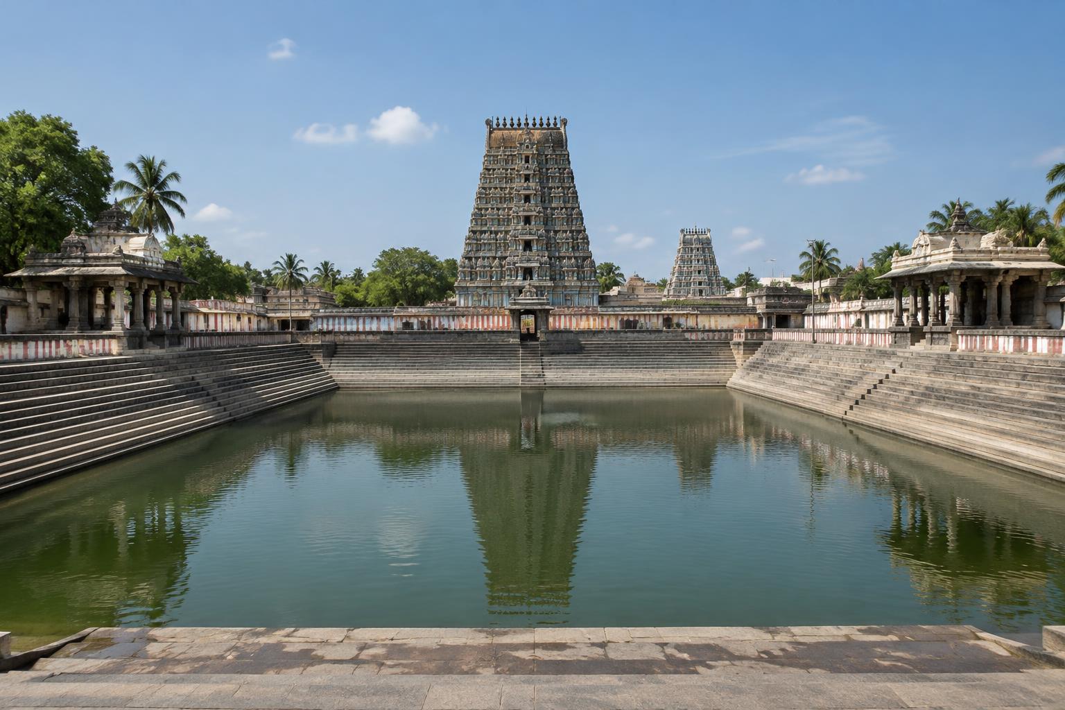 06
South India · Varied by site
Stepped tanks embedded in temple settlements, serving ritual, civic and water-storage roles in varied local networks.
ExploreWorking landscapes
Traditional systems link terrain, seasonal flows, storage and community use as one connected cycle.
IKS connection
Traditional water management links environmental observation with material, agricultural and social knowledge.
These knowledge systems were diverse and place-specific. Their value lies not in romanticising the past, but in studying how people observed local conditions, organised seasonal water use and adapted construction to landscape and available materials.
Comparative study
Compare how three systems respond to different climates, landscapes and social needs.
| Comparison field | |||
|---|---|---|---|
| Region | West India | North India | Himalayan Region |
| Climate | Semi-arid alluvial plain | Semi-arid village catchments | Mountain slopes and terraces |
| Landscape | Semi-arid alluvial plain | Semi-arid village catchments | Mountain slopes and terraces |
| Water source | Groundwater and seasonal recharge | Seasonal rainfall and runoff | Mountain streams and snowmelt |
| Main purpose | Water storage & access | Groundwater recharge | Irrigation |
| Construction | Stone | Earth and local stone | Earth, stone and local lining |
| Working principle | Vertical access to groundwater through a descending architectural sequence. | Capture monsoon runoff behind an earthen bund to store water and encourage infiltration. | Use gravity and contour-aligned channels to distribute mountain water. |
| Community role | Stepwells could support gathering, rest and ritual alongside practical water access. The sculptural programme at Rani-ki-Vav gives the structure exceptional cultural and architectural importance. | Their upkeep has often depended on collective decisions about catchment, grazing, silt and water use. | Shared rules and maintenance traditions support distribution among fields; arrangements differ between communities. |
| Scale | Requires field/source verification | Requires field/source verification | Requires field/source verification |
| Modern relevance | Offers lessons in climate-responsive public architecture and the cultural value of water infrastructure. | A low-energy approach to slowing runoff and replenishing local water cycles. | Demonstrates low-energy distribution built around close knowledge of terrain. |
Digital methodology
A transparent archival path turns physical places and living practices into structured public knowledge.
Locate practices and structures through existing knowledge.
Review reliable sources and record uncertainty.
Capture form, context, use and community knowledge.
Relate each record to its wider water landscape.
Create a visual record with clear attribution.
Apply consistent types, functions and metadata.
Connect media, location and interpretation.
Maintain an accessible record for future study.
Sample archive record
Scannable archive mark
Prototype identifier