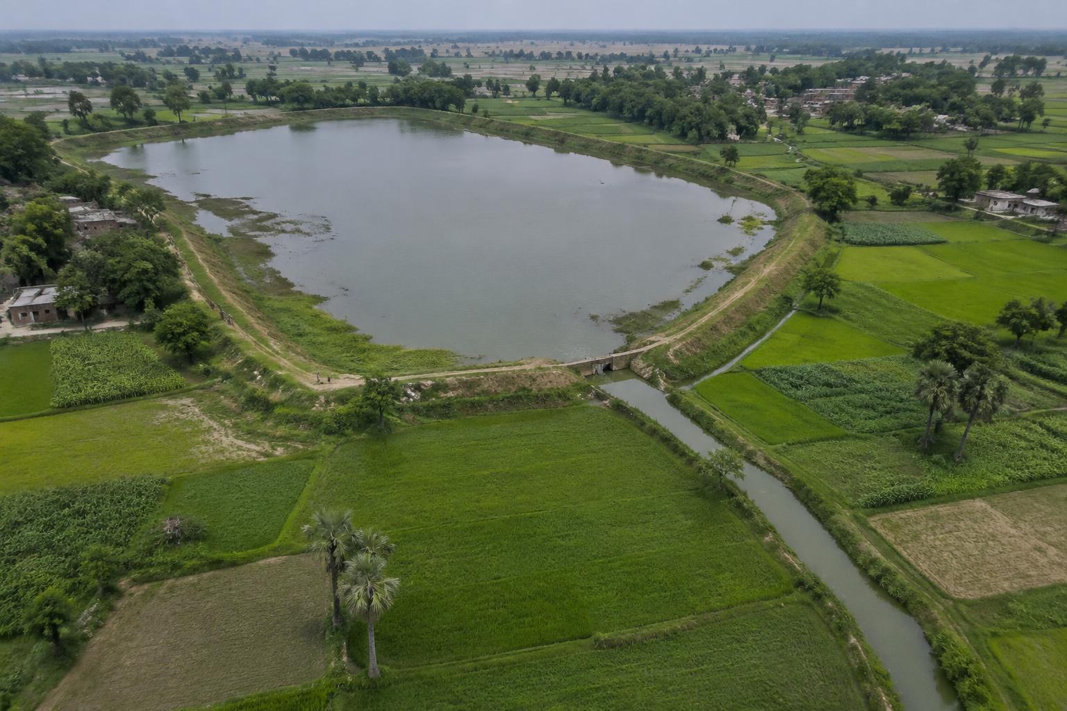
Ahar-Pyne
South Bihar plains · Long-standing regional practice
Illustrative reconstruction · generated for this archive prototype
Overview
Ahar-Pyne systems pair pynes—channels that convey water—with ahars, embanked basins that retain it. Local forms and management arrangements differ.
Historical Context
Long-standing regional practice. This prototype provides broad context only; detailed chronology requires source verification.
Water Management
Seasonal flows are guided through channels into storage basins and fields. Gradient, timing, silt and shared maintenance influence performance.
Landscape & Ecology
Low-gradient agricultural plains. Shows how flood-prone plains can turn seasonal water movement into an agricultural resource.
Architecture / Engineering
The system is an engineered agricultural landscape of earth channels, embankments, inlets and storage depressions.
Community & Cultural Significance
Water distribution and desilting depend on coordination among cultivators and settlements.
Modern Relevance
Suggests ways to work with seasonal floods rather than treating all floodwater only as a hazard.
Conservation
Encroachment, blocked channels and changing drainage can disrupt the network. Mapping connections is as important as documenting individual features.